Natural disasters like wildfires and floods are becoming more frequent and more destructive due to climate change. Every year, millions of people lose their homes, livelihoods, and sometimes their lives to these events. The good news is that advances in artificial intelligence and real-time sensor technology are giving emergency responders and communities a significant head start — helping save lives and reduce damage before disasters fully unfold.
Why Traditional Disaster Prediction Falls Short
For decades, disaster management relied on weather stations, manual monitoring, and historical data. While useful, these methods often struggled to keep pace with fast-moving wildfires or sudden flash floods. The core challenges include:
- Rapid and unpredictable spread of fires and floodwaters
- Late or absent warnings that leave communities with little time to evacuate
- Insufficient emergency resources deployed in the wrong areas at the wrong time
Modern sensor networks and AI-driven systems are now filling these critical gaps with speed and accuracy that older methods simply cannot match.
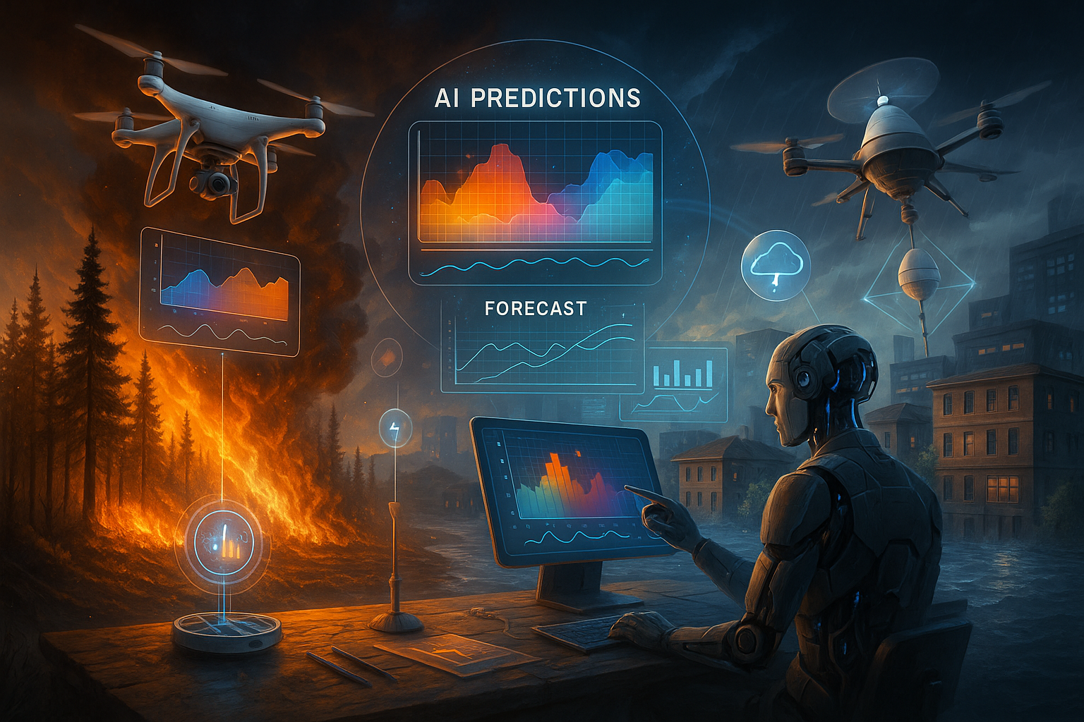
How AI Predicts and Monitors Wildfires
AI tools process enormous volumes of data — including past fire records, weather patterns, satellite imagery, and terrain maps — to forecast where wildfires are likely to start and how fast they might spread. Key data points analyzed include wind velocity, plant dryness, heat levels, and real-time images from space.
NASA, for example, uses AI-enhanced satellite systems to detect and track fires across the globe as they happen. This kind of continuous monitoring allows authorities to respond within minutes rather than hours.
On the ground, tiny sensors placed in forests and national parks play an equally important role. These devices constantly monitor:
- Temperature fluctuations
- Humidity levels
- Smoke and gas concentrations in the air
When readings cross dangerous thresholds, the system immediately alerts local officials — often before any visible flames appear. This early detection gives firefighters a critical window to contain a fire before it grows out of control.
How AI Forecasts Floods and Issues Early Warnings
Flood prediction has also seen a major shift with AI. These systems process data on rainfall intensity, river water levels, and soil saturation to determine when and where flooding is likely to occur. Compared to traditional hydrological models, AI-based systems are faster and more accurate.
AI also generates dynamic flood maps that display:
- Projected water depth in affected areas
- High-risk danger zones
- Neighborhoods and infrastructure likely to be impacted
Several cities around the world now use these maps to manage traffic, coordinate rescue teams, and plan evacuation routes during storms and heavy rainfall events.
Water-level sensors placed in rivers, drainage systems, and reservoirs feed real-time data directly into AI platforms. The AI then monitors rising water levels, forecasts overflow risks, and sends alerts to residents through SMS messages, mobile app notifications, or radio broadcasts. This early warning capability gives families and communities enough time to prepare and move to safety.
The Technologies Behind Smarter Disaster Response
Several interconnected technologies work together to make AI-powered disaster prediction possible:
| Technology | Role in Disaster Prediction |
|---|---|
| AI and Machine Learning | Analyzes historical and live data to identify patterns and predict risks |
| IoT (Internet of Things) | Collects real-time sensor data from forests, rivers, and urban areas |
| Cloud Computing | Processes and stores massive volumes of environmental data |
| Geospatial AI | Maps high-risk zones with precision using satellite and terrain data |
Together, these technologies create a system that can detect, forecast, and warn — all in real time as events develop on the ground.
Key Benefits and What the Future Holds
The advantages of AI and sensor-based disaster prediction are clear and measurable:
- More preparation time for residents and emergency services thanks to advance warnings
- Faster emergency response guided by live, accurate data
- Lower risk of property damage and casualties
- Better urban planning for flood-prone and fire-prone regions
- Higher-quality forecasts that reduce false alarms and alert fatigue
Looking ahead, the next generation of disaster technology could include AI-powered drones that fly over affected areas to provide real-time visual updates, mobile apps that send personalized wildfire and flood risk alerts based on a user’s exact location, and automated evacuation guidance systems that direct people to the safest routes during emergencies.
These developments will help governments, emergency services, and ordinary citizens stay better prepared as climate-related disasters continue to grow in frequency and intensity.
The combination of AI intelligence and smart sensor networks represents one of the most practical and impactful uses of modern technology — not just for convenience, but for survival. As these systems become more affordable and widely deployed, communities across India and the world stand to benefit from faster warnings, smarter responses, and ultimately, fewer lives lost to natural disasters.